Description
How do I get there
Weather
Păltiniș – Fraga – Rășinari
Marking: yellow band against a white background
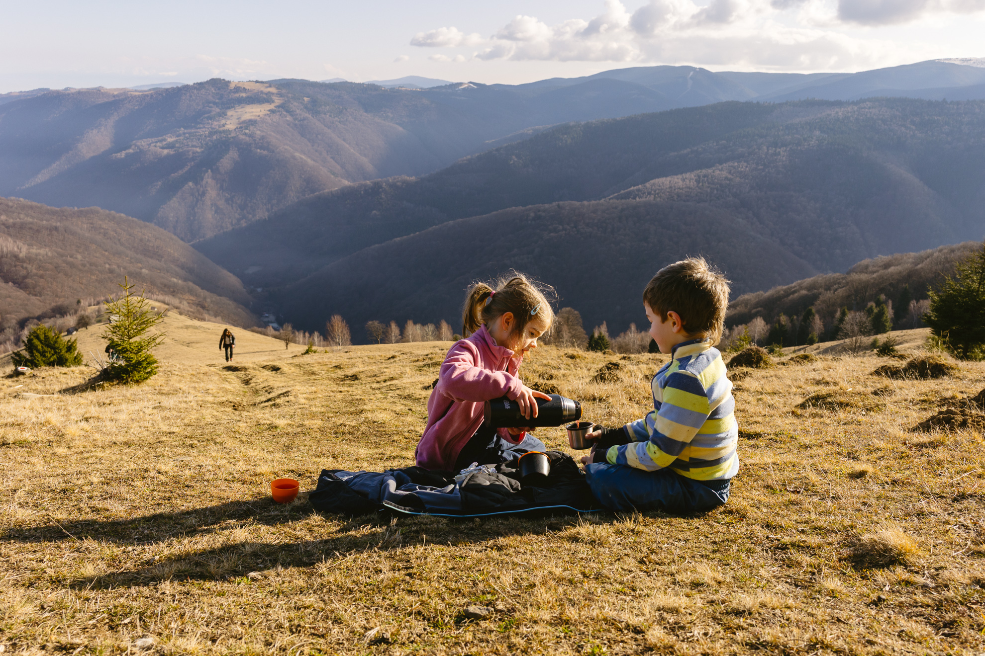
A route going through pastoral landscapes from Mărginimea Sibiului, with pine forests and sheepfolds.
Latitude
45.654604
Longitude
23.933059
Access the coordinates in Google Maps:
Find the locationOur advice for this tour is to go up to Păltiniș taking bus number 22, starting from Sibiu. Check out its departure schedule on the Tursib.ro website, depending on the closest stop. At the end of the line, at the base of Oncești ski slope, you will find a map with all the information needed for the route. Follow the markings and the signage on the route and it will be very easy to find your way. Enjoy your hike!
When coming back to Sibiu, take the bus from the Rășinari- Sibiu route, made available by the Rășinari Commune Mayor’s Hall. You can find the schedule on the rasinari.travel internet page.


