Description
How do I get there
Weather
Turnu Roşu Monastery – Şaua Corbului
Marking: Red cross on a white background
Full route name: Turnu Roşu Railway Station - Turnu Roşu Monastery - Şaua Corbului
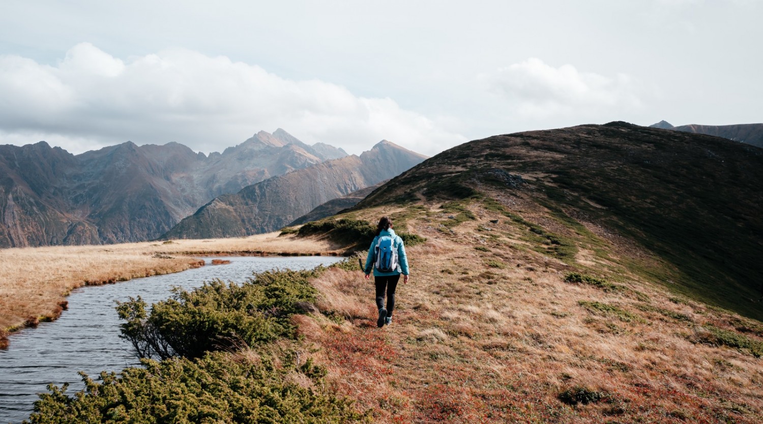
The route runs through the valley between the village and Turnu Roșu Monastery, followed by a forested route and a steady climb through deciduous and coniferous forests, to Poiana Pleșii, on the former border guard routes. Through a coniferous forest, hikers climb under Chica lui Ionel Peak and along Culmea Pietricelei close to the main crest, in Șaua Corbului, where they will enjoy spectacular views of the surrounding valleys and from the crest peaks.
Latitude
45.642989
Longitude
24.296348
Access the coordinates in Google Maps:
Find the locationYou can walk this route right from the Turnu Roșu Railway Stop, but we want now to know that you have a long walk to the base of the mountain, where the experience of the route itself begins. The trains that stop in the Turnu Roșu Railway Stop are usually those headed to Olt Valley (Valea Oltului), of Regio type, and their schedule can be found on the bilete.cfrcalatori.ro website.
Another option would be to drive your personal car to the base of the route, on Olt Valley (Valea Oltului), after crossing Tălmaciu. To reduce the environmental impact, share your car with friends so you can ride as many in as few cars as possible.
At the base of the route you will find a map with all the information needed for the route. Follow the markings and the signage on the route and it will be very easy to find your way. Enjoy your hike!


