Description
How do I get there
Weather
Păltiniş circuit through Găujoara Clearing
Marking: Blue circle on a white background
Full route name: Păltiniş Resort - Găujoara Clearing - Muncel Forest Range - Onceşti Garden - Cable Car Station - Păltiniş Resort
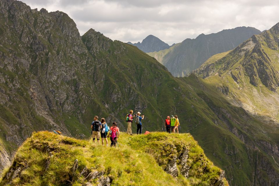
The route marked with a blue dot around Păltiniș resort is one dedicated to beginner hikers. It goes through spruce and coniferous forests and offers wonderful views over the Făgăraș Mountains, the city of Sibiu and the Cindrel Mountains.
Specifications: a route appropriate for families with children, accessible with pets
Latitude
45.651643
Longitude
23.928541
Access the coordinates in Google Maps:
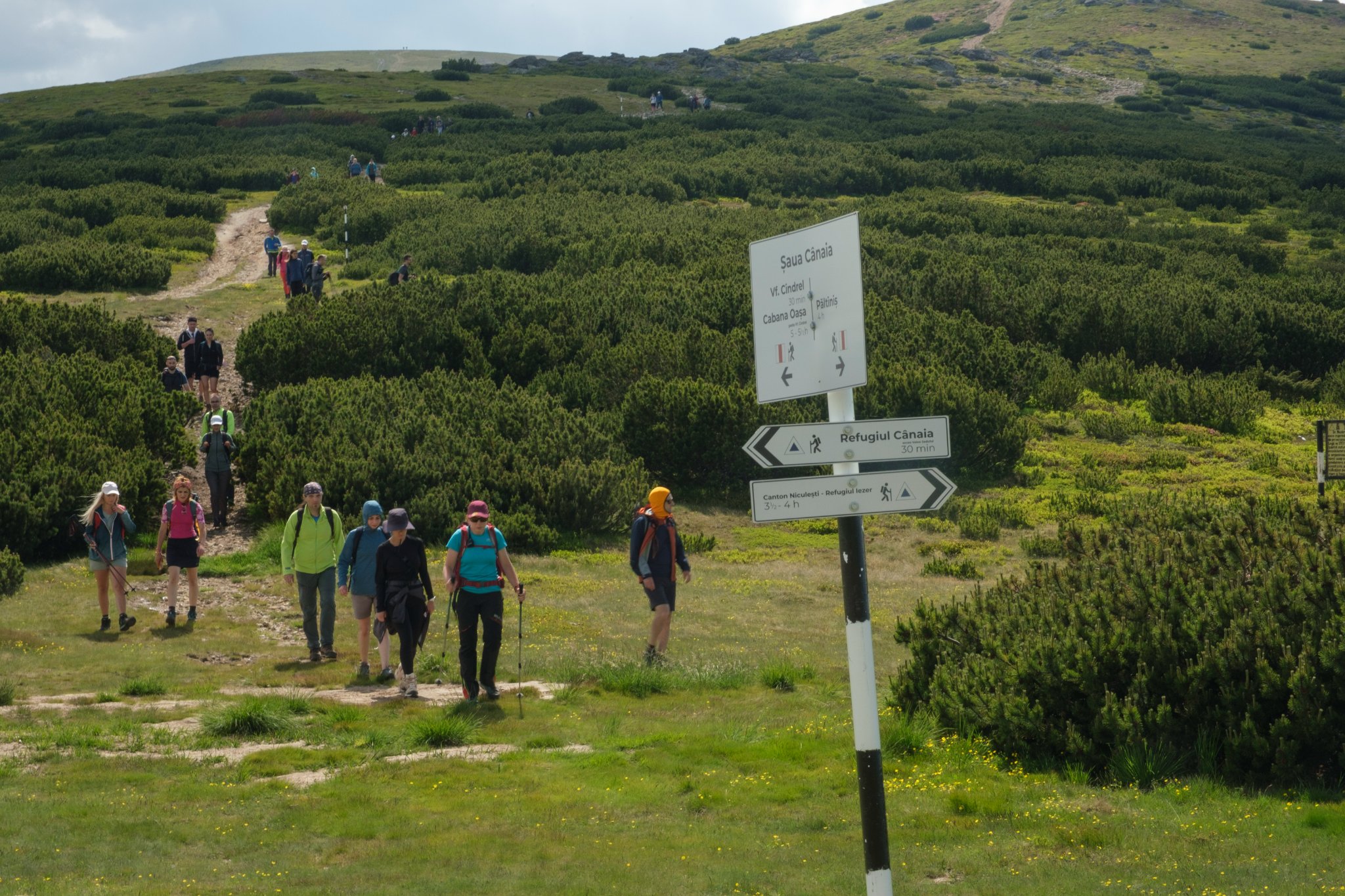
Find the locationYou can get to Păltiniș by taking bus number 22, starting from Sibiu. Check out its departure schedule on the Tursib.ro website, depending on the closest stop. At the end of the line, at the base of Oncești ski slope, you will find a map with all the information needed for the route. Follow the markings and the signage on the route and it will be very easy to find your way. Enjoy your hike!
Upon returning, you can get back to Sibiu by taking the same bus.


