Description
How do I get there
Weather
Jina – La Pripoane – Cindrel Peak
Marking: Blue line on a white background
Full route name: Jina (village) - Captanul Mic Hill- Guga Mică Hill- La Pripoane - Duşi Forest Range - Poiana Rudarilor - Foltea Peak - Frumoasa Peak - Cindrel Peak
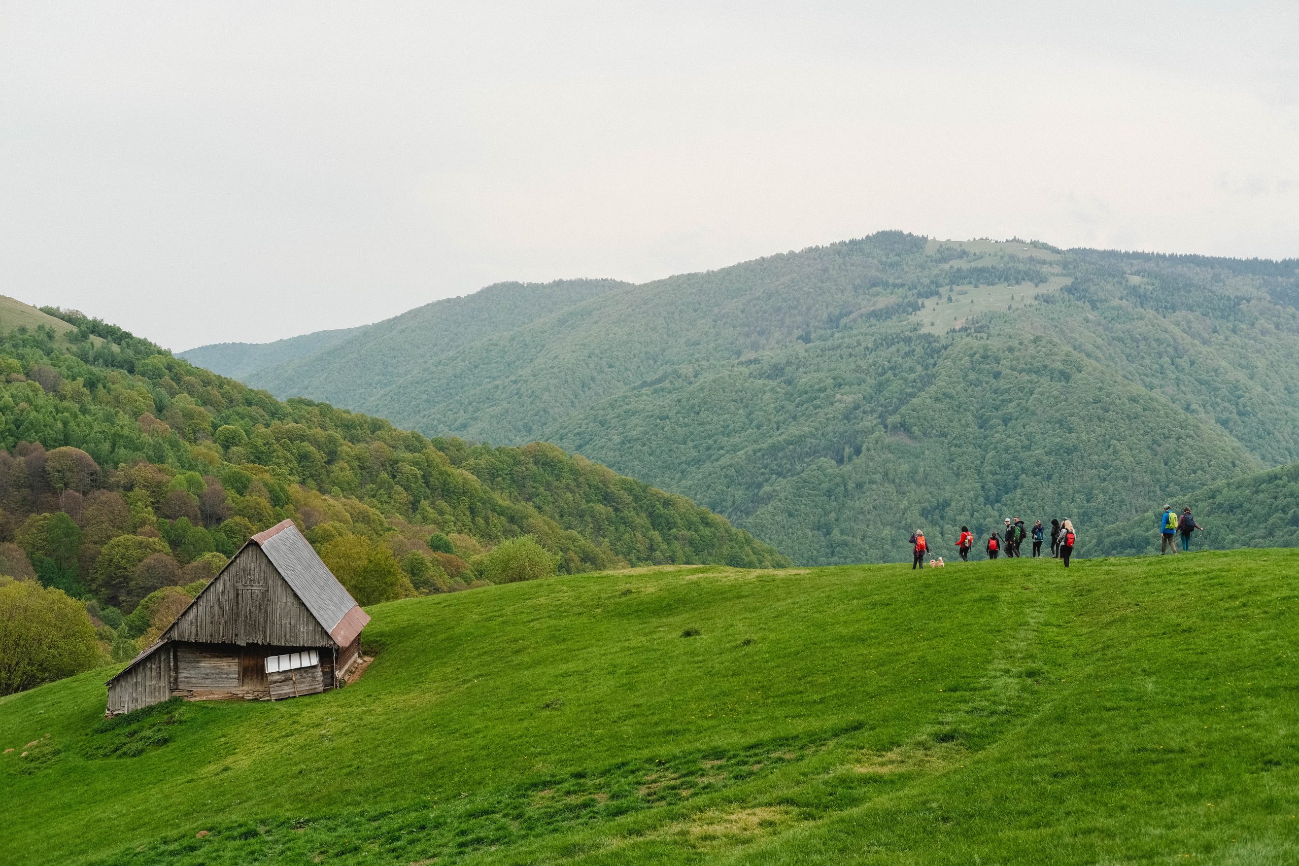
From Pripoane, on a forest road followed by a rocky road, the Blue Band ridge route from the Cindrel Mountains takes the hiker to the Botanical Reserve Iezerele Cindrelului, close to Găujoara Clearing. On the Găujoara ridge, the hiker will discover the Cindrel Natural Park by accessing Cindrel Peak through the Devil’s Plateau, leaving Iezerul Mare and Iezerul Mic behind on the left side, always having the view on Șteflești Peak, which are part of Lotru Mountains, on their right side.
Latitude
45.580566
Longitude
23.772319
Access the coordinates in Google Maps:
Find the locationThe only way to get to Jina is by using the personal car. The trip takes about an hour and you will be able to enjoy the splendid passage from the urban landscape to the rural one through the iconic villages that bear witness to the traditions of the Sibiu Mărginime. Even by car, you will go through one of the most towering routes of the county. However, in order to have a minimum impact on the environment and the lowest pollution level, we recommend you to gather in groups, in the smallest number of cars possible. At the base of the route you will find a map with all the information needed for the route. Follow the markings and the signage on the route and it will be very easy to find your way. Enjoy your hike!


