Route: Cisnădioara – Măgura Peak – Rășinari
All seasons
Description
How do I get there
Weather
Cisnădioara – Măgura Peak – Rășinari
Marking: Blue Cross on a white background
Full route name: Cisnădioara - Măgura Peak - Poiana Trandafirilor (Clearing of Roses - Rosengarten) - Prislop Hamlet – Răşinari
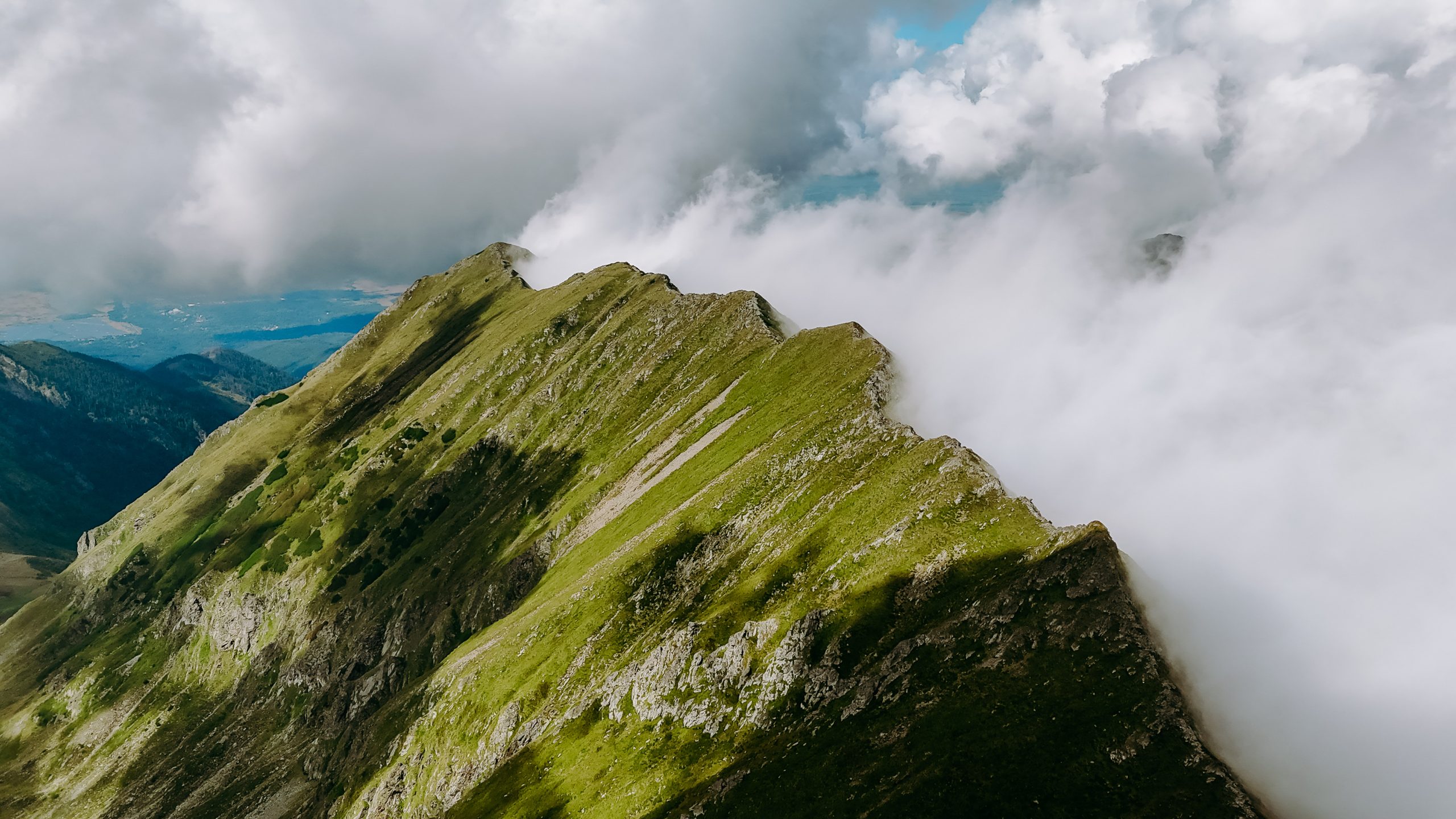
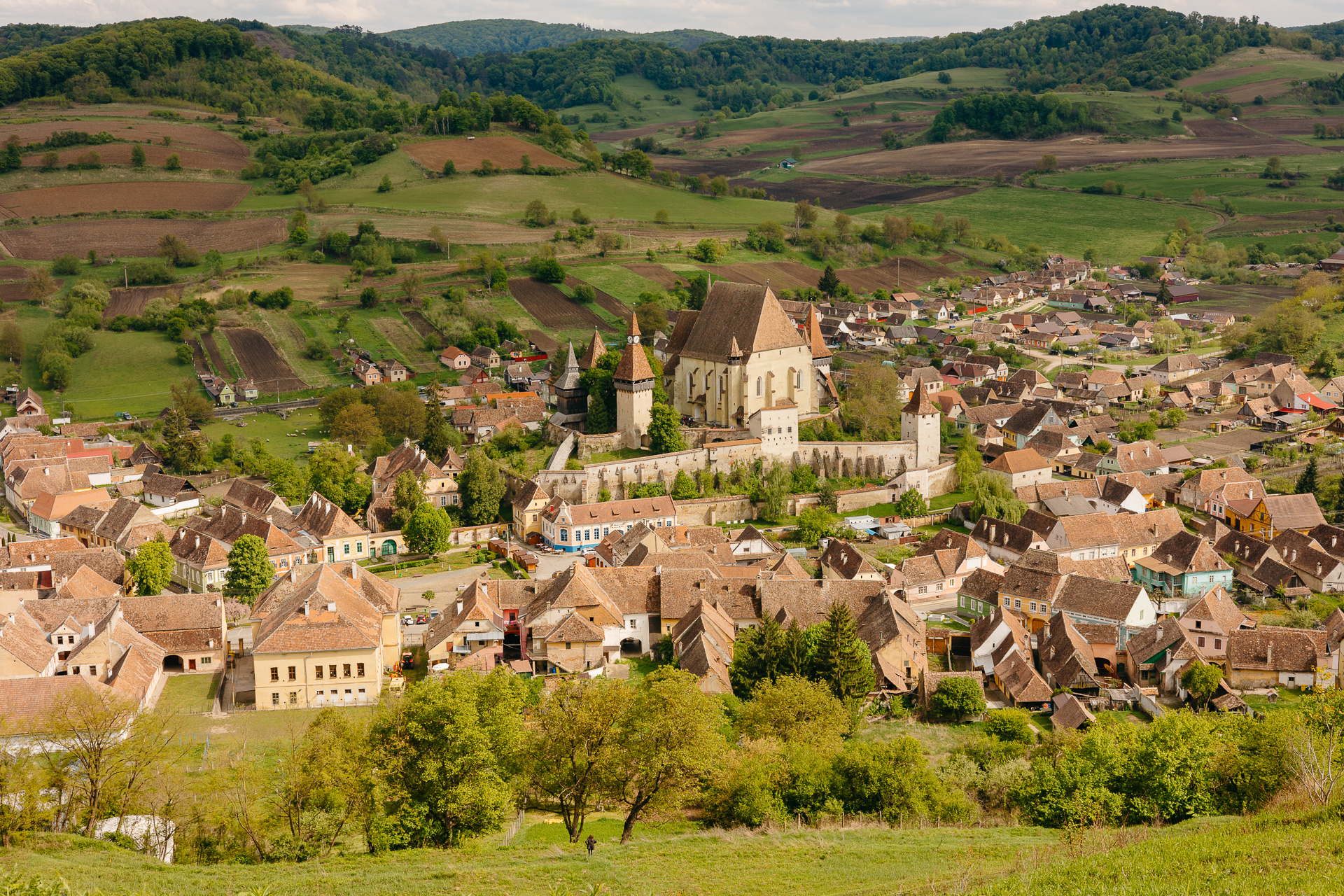
The route starts from Cisnădioara up to an altitude of 1304 meters, on the Măgura peak, following a forest road along a valley, and then descends to Prislop, a hamlet inhabited by Rroma people, a few kilometres from the village of Răşinari, taking a wagon road. Hikers can stop along the route at the Rosengarten Refuge to admire the blooming plains on Măgura Peak, part of the Cindrel massif. The route is perfect for light hiking, with the family, or for cycling.
Latitude
45.704797
Longitude
24.068863
Access the coordinates in Google Maps:
Find the locationTo get to Cisnădioara, the only ways are to use a bicycle or a personal car. Of course, we advise you to choose the bike, even the choice is a bit more exhausting for the moment. However, we guarantee that, besides the sports satisfaction, you will also enjoy the view toward the sunny ridges of the Făgăraș Mountains and the freedom of wind blowing when descending, rewarding you for the effort made in climbing the hill. Nothing compares to the feeling of coming downhill after the effort to go up. However, if you choose the car, we advise you to group into as few cars as possible, for minimal impact on the environment and pollution. At the base of the route you will find a map with all the information needed for the route. Follow the markings and the signage on the route and it will be very easy to find your way. Enjoy your hike!


