Description
How do I get there
Weather
Sebeşu de Sus – Suru Chalet – Șaua Suru
Marking: Red triangle on a white background
Full route name: Sebeşu Olt Railway Station - Sebeşu de Sus Village - Culmea Moaşei - Suru Refuge- Fruntea Moaşei - Căldarea Surului - Şaua Suru
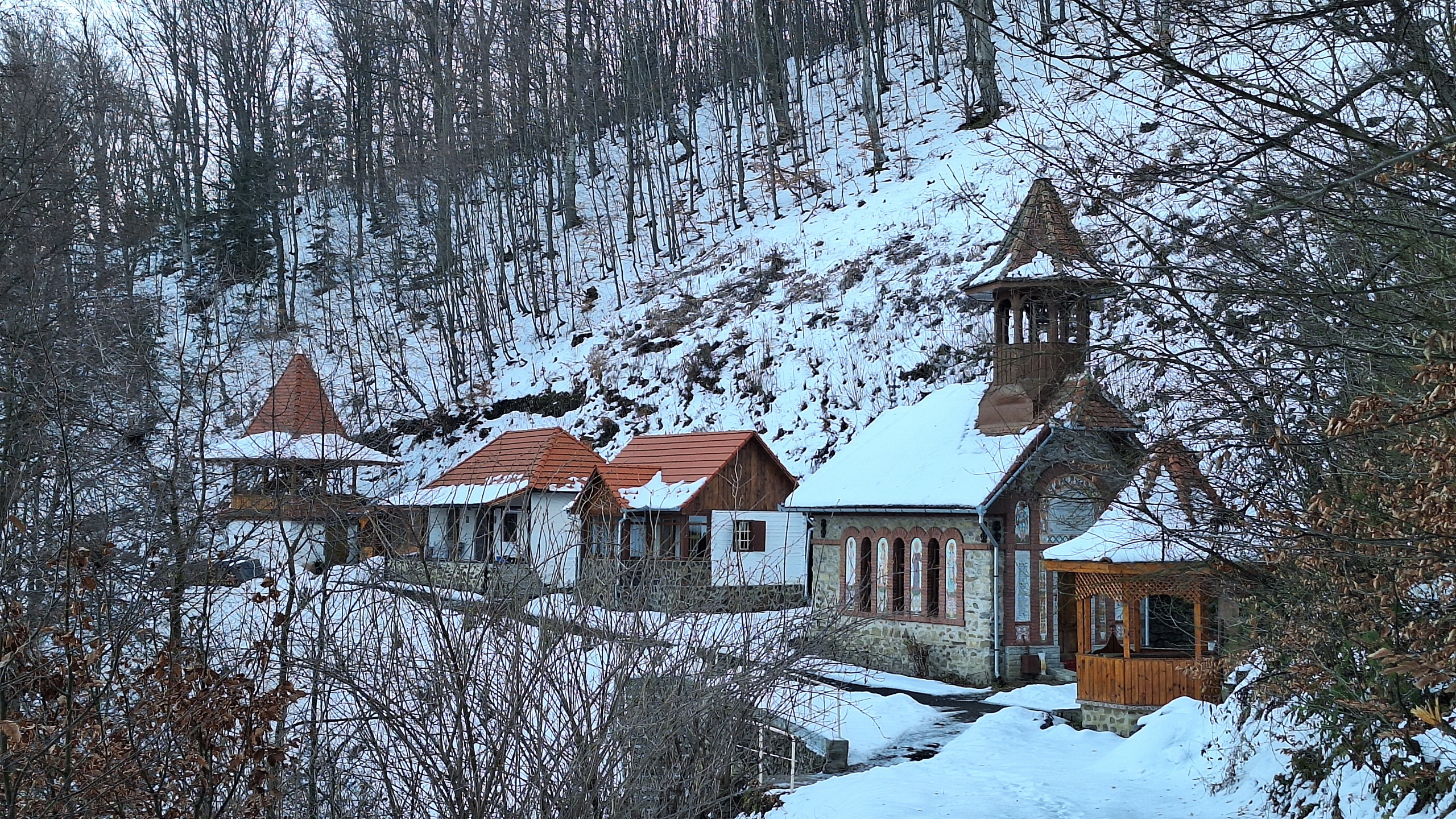
The route takes hikers from the Sebeșu de Sus village, along Moașa Valley (Valea Moașei) to the altitude of 2283 metres, at Suru peak, part of Făgăraș Massif. The route follows a forested route, on Culmea Moașei, passing by the Suru Chalet and the Mountain Rescuers’ Monument. The monument is a memorial dedicated to the mountain rescuer killed by the avalanche in the Găvanului Valley (Valea Găvanului) on 18 March 1980, during a rescue operation. In winter, the last segment towards the crest is accessible only with specific equipment, depending on the weather conditions.
Latitude
45.670803
Longitude
24.317841
Access the coordinates in Google Maps:
Find the locationIn order to take this route, you must reach either the Sebeșu Olt Railway Stop by train, or by going in your personal car to the base of the mountain, at the start of the route itself.
However, if you choose the train, we must caution you that you will have to travel a long forest road, for a few hours, from the Railway Stop to the base of the mountain. The trains that stop in the Sebeșu Railway Station are of Regio type, and their schedule can be seen on the infofer.ro website.
If you choose your personal car, follow the route signage from Sebeșu Olt to the base of the mountain.
Right at the starting point of the route you will find a map with all the information needed for the route. Follow the markings and the signage on the route and it will be very easy to find your way. Enjoy your hike!


