Description
How do I get there
Weather
Podul Jibrii – Suru Chalet – Șaua Apa Cumpănită
Marking: Blue triangle on a white background
Full route name: Crossroad from Podul Jibrii – Moașa Avrigului Valley (Valea Moaşa Avrigului) - Izvorul Florii - Culmea Moaşei - Suru Refuge - Fruntea Moaşei - Şaua Apa Cumpănită
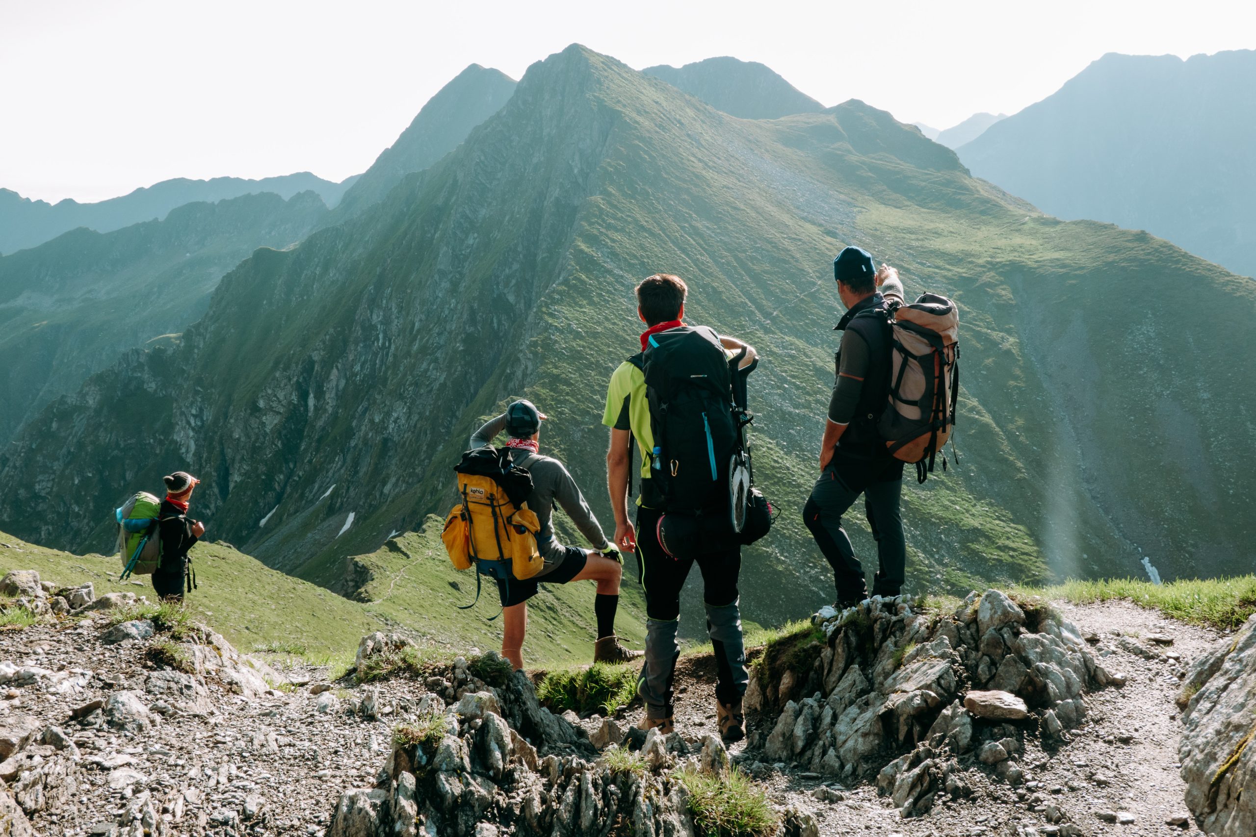
A difficult route connecting to the main crest at an altitude of 1056 m, near Moașa Peak. The climb follows Culmea Moaşei, it passes by the Suru Chalet and the Mountain Rescuer’s Monument. In winter, the last segment on the way to the crest is accessible only with specific equipment, which makes the route accessible only to hikers with some mountain experience.
Latitude
45.664979
Longitude
24.45038
Access the coordinates in Google Maps:
Find the locationThe only way to get to Avrig Valley (Valea Avrigului) is by using the personal car. The trip takes around one hour and you can enjoy the cool of the forests. However, in order to have a minimum impact on the environment and the lowest pollution level, we recommend you to gather in groups, in the smallest number of cars possible. At the base of the route you will find a map with all the information needed for the route. Follow the markings and the signage on the route and it will be very easy to find your way. Enjoy your hike!


