Description
How do I get there
Weather
Ciupari – Poiana Trandafirilor – Tail End of Lake Sadu II
Marking: Red circle on a white background
Full route name: Ciupari (Râu Sadului) – Şaua Târnova – Poiana Trandafirilor (Rosengarten) - tail end of Sadu II Lake
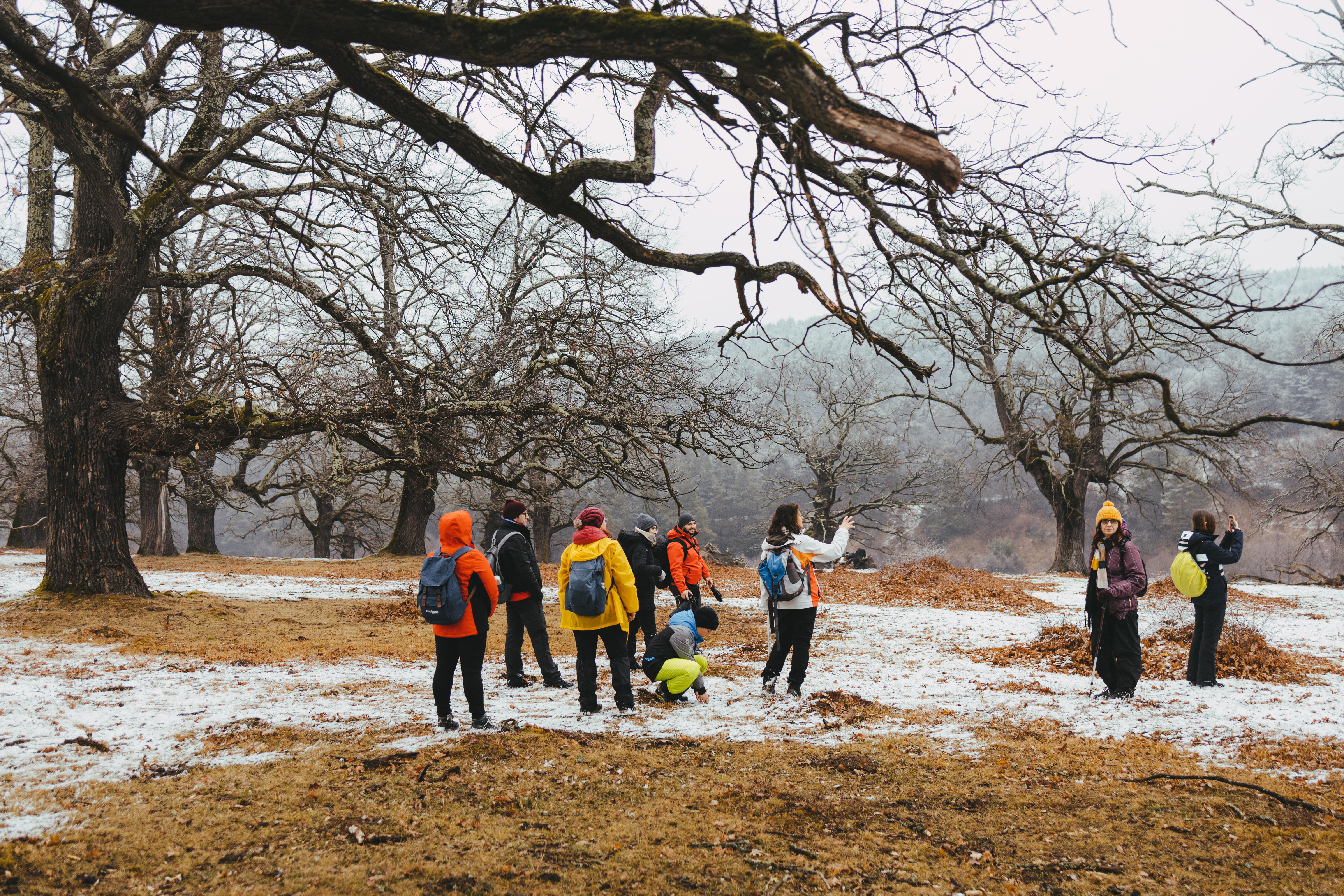
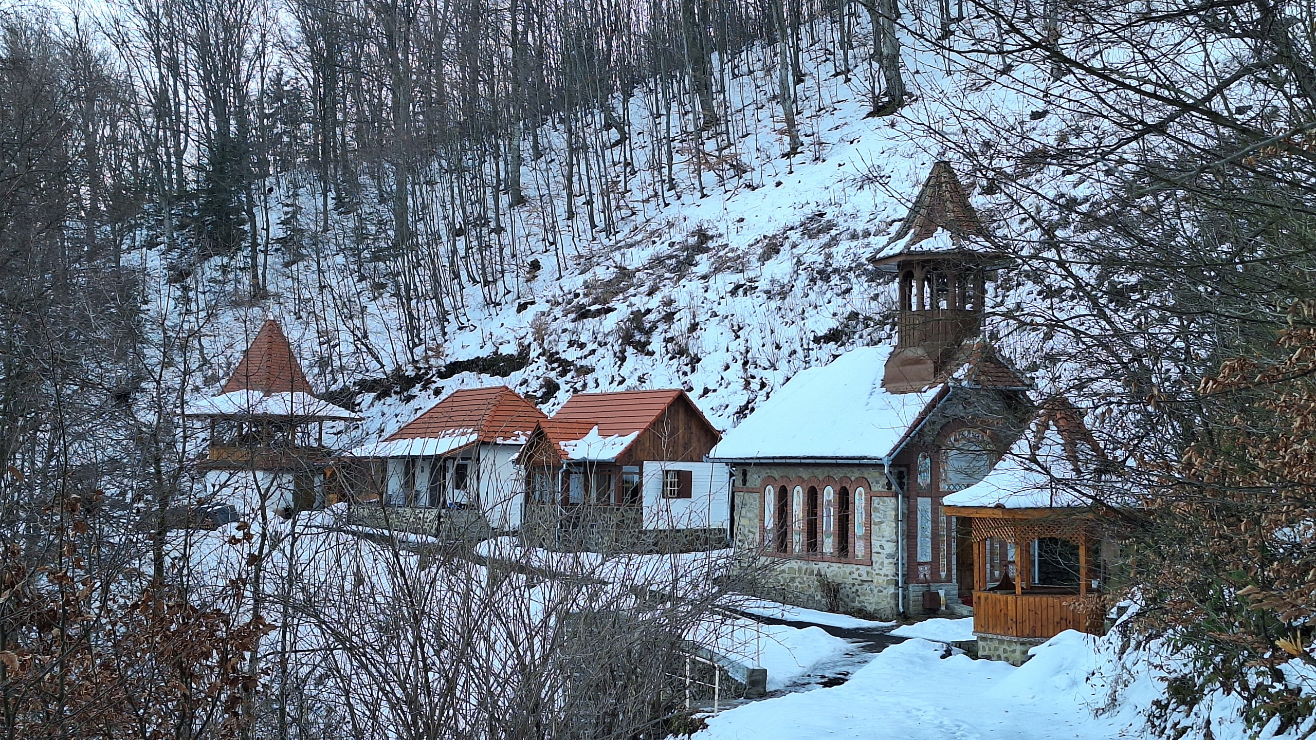
Starting from Sadului Valley (Valea Sadului), more precisely from Ciupari, to the ridge route, this circuit is ideal for beginners and families who want to go on a hike with spectacular views and picnic places. The circuit crosses Drăguţ Peak, through Trandafirilor Clearing and through Curmătura Măgurii. It is a pleasant route, through the forests and on the ridge, with views on Sadului Valley (Valea Sadului) and the secondary peaks.
Latitude
45.637128
Longitude
24.079823
Access the coordinates in Google Maps:
Find the locationThe only way to get to Râu Sadului is by using the personal car. The trip takes about one hour and you can enjoy the wonderful mountain landscape, which increasingly gains ground on the road, as if swallowing it up. However, in order to have a minimum impact on the environment and the lowest pollution level, we recommend you to gather in groups, in the smallest number of cars possible. At the base of the route you will find a map with all the information needed for the route. Follow the markings and the signage on the route and it will be very easy to find your way. Enjoy your hike!


