Description
How do I get there
Weather
Şaua Serbănei – Refugiul Cânaia – Şaua Ştefleşti
Marking: Red circle on a white background
Full route name: Şaua Serbănei - Refugiul Cânaia – under Cindrel Peak, upstream of Şaua Ştefleşti
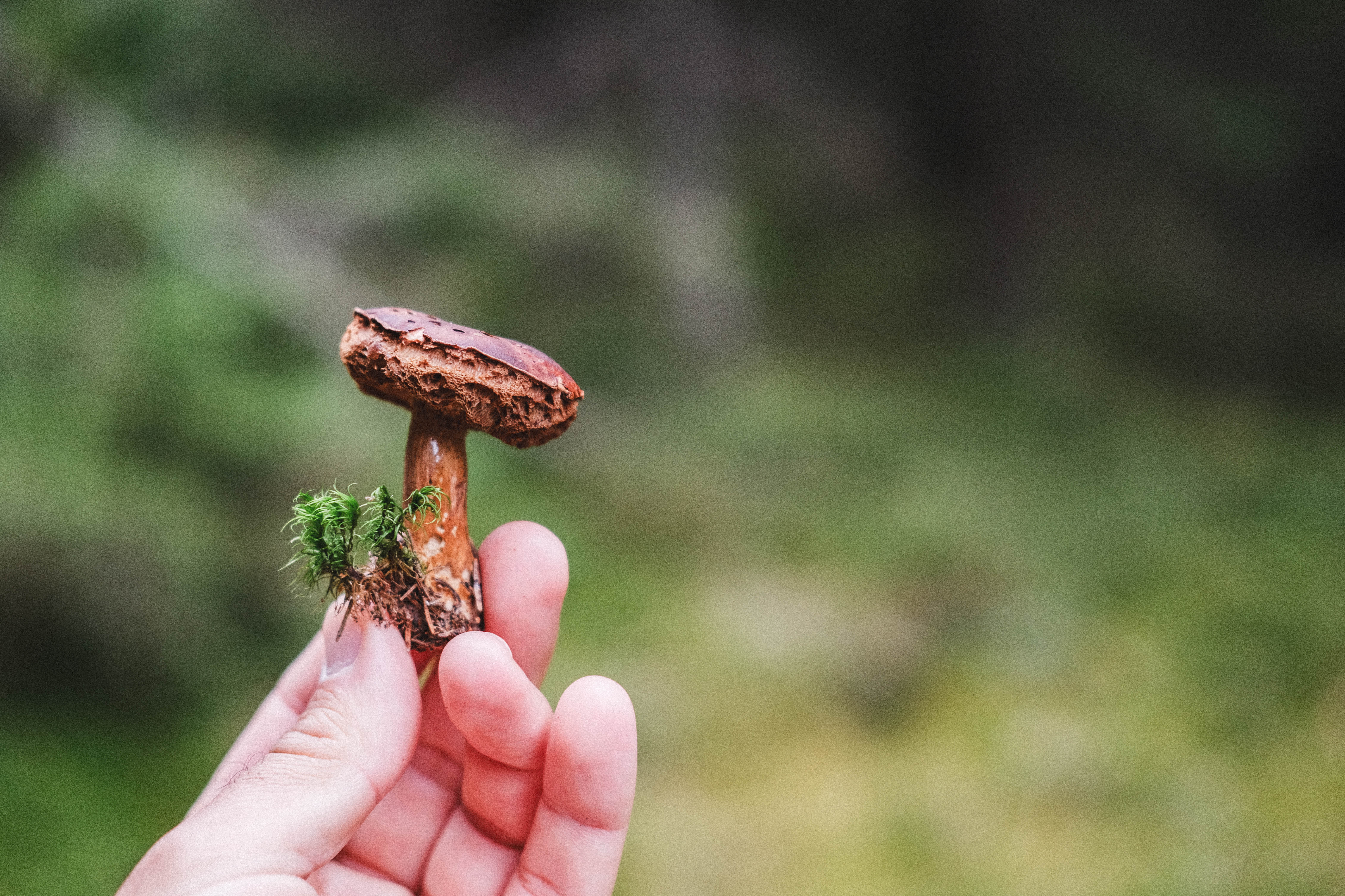
From 1886 meters, from Șaua Serbănei, the route takes hikes to Cânaia refuge, for a well-deserved stop, then climbing to the Cindrel Peak, the highest massif that watches over the depression of the Iezerul Mare glacial lake. Our recommendation is to cover the route in May-June, when the peonies bloom at Cânaia.
Latitude
45.602034
Longitude
23.854869
Access the coordinates in Google Maps:
Find the locationAt Șaua Șerbănei, you can only reach an altitude of 1,885 on foot while hiking, following the Red Band marking against a white background from Păltiniş or the Red Cross marking against a white background from the Măgura Peak. Enjoy the views and don't forget to follow the route markings and signage to guide you along the route. Enjoy your hike!
Mountain group
Seasonality
Summer - with the appropriate equipment
Specifications
Dog-friendly, Scenic, Flora and fauna, Summit route, Out and back, Family-friendly, Botanical highlights
Starting point
Șaua Șerbănei
Arrival Point
Șaua Șteflești
Mark
Mountain - red circle