Linear trail
Description
How do I get there
Weather
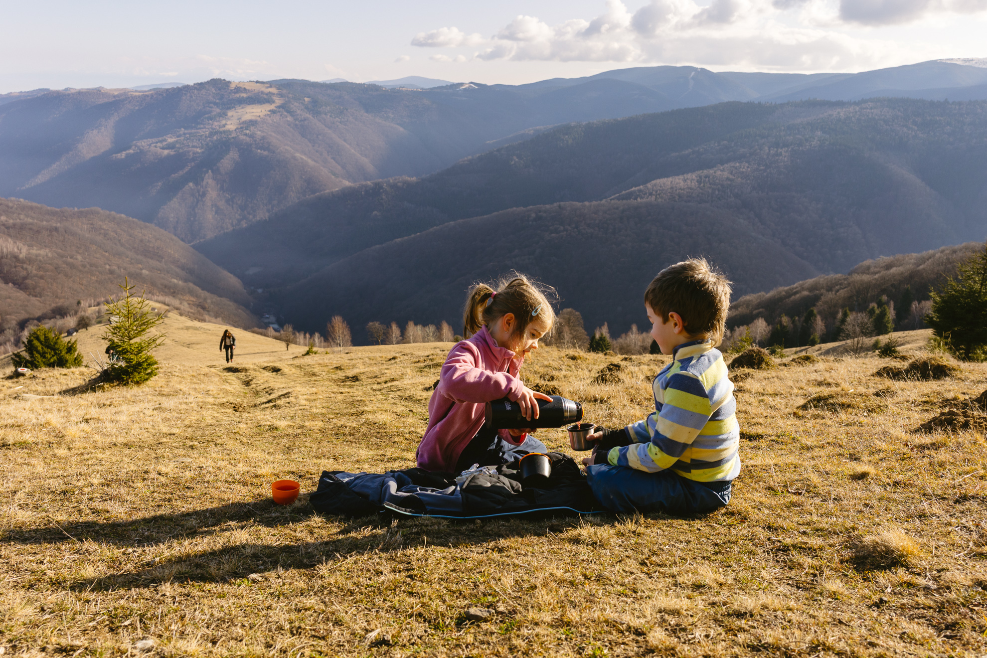
Hiking in the Făgăraș Mountains: Scara Peak and Avrig Lake
We propose a hike on a spectacular route: Poiana Neamțului – Bârcaciu Chalet – Scărișoara Ridge – Scara Peak – Gârbova Peak – Avrig Lake – Bârcaciu Chalet – Poiana Neamțului
Latitude
45.63647
Longitude
24.4726
Access the coordinates in Google Maps:
Find the location


