Description
How do I get there
Weather
Bâlea Lake – Netedu Peak – Transfăgărășan
Marking: blue band on a white background
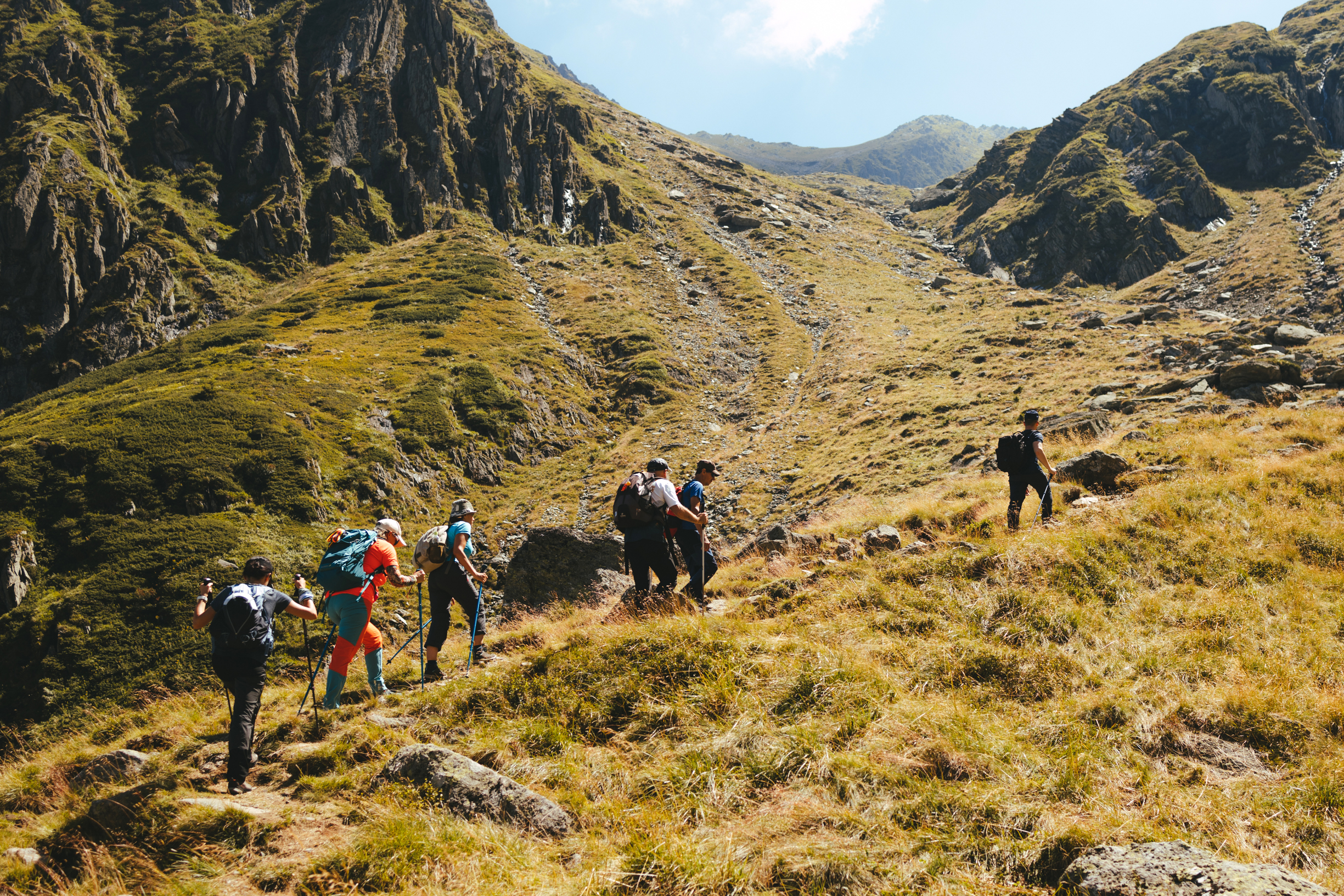
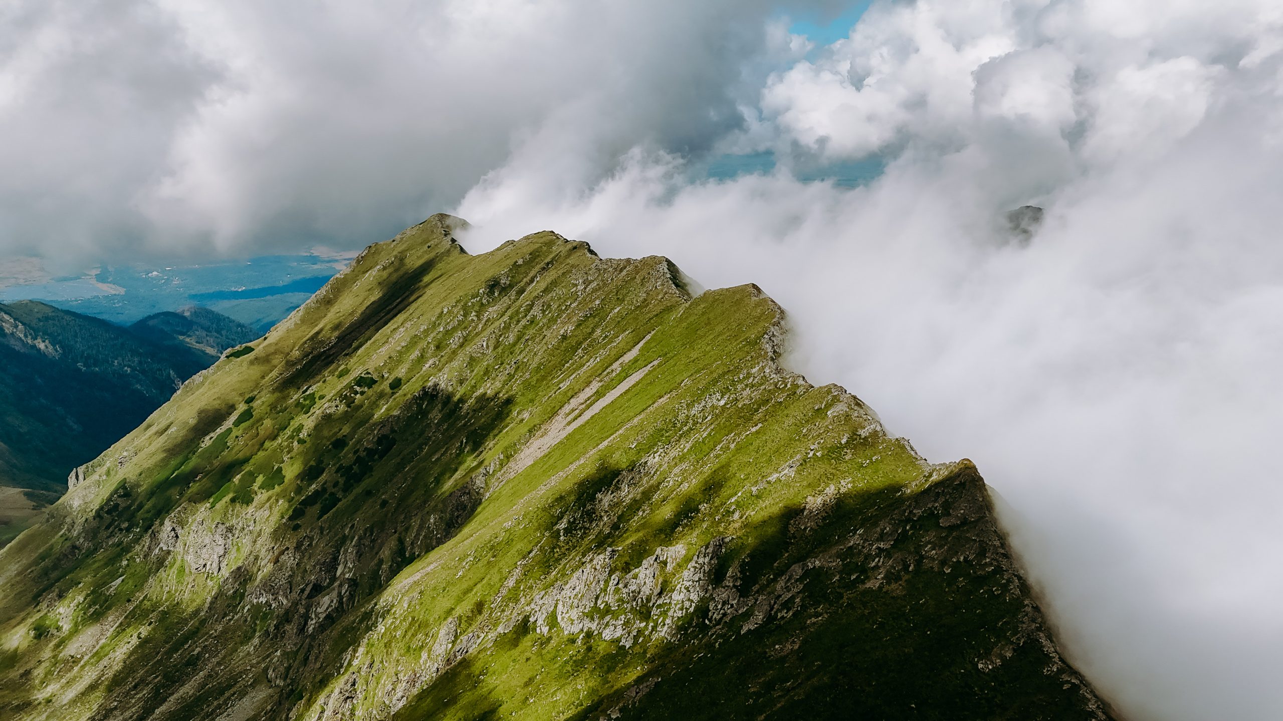
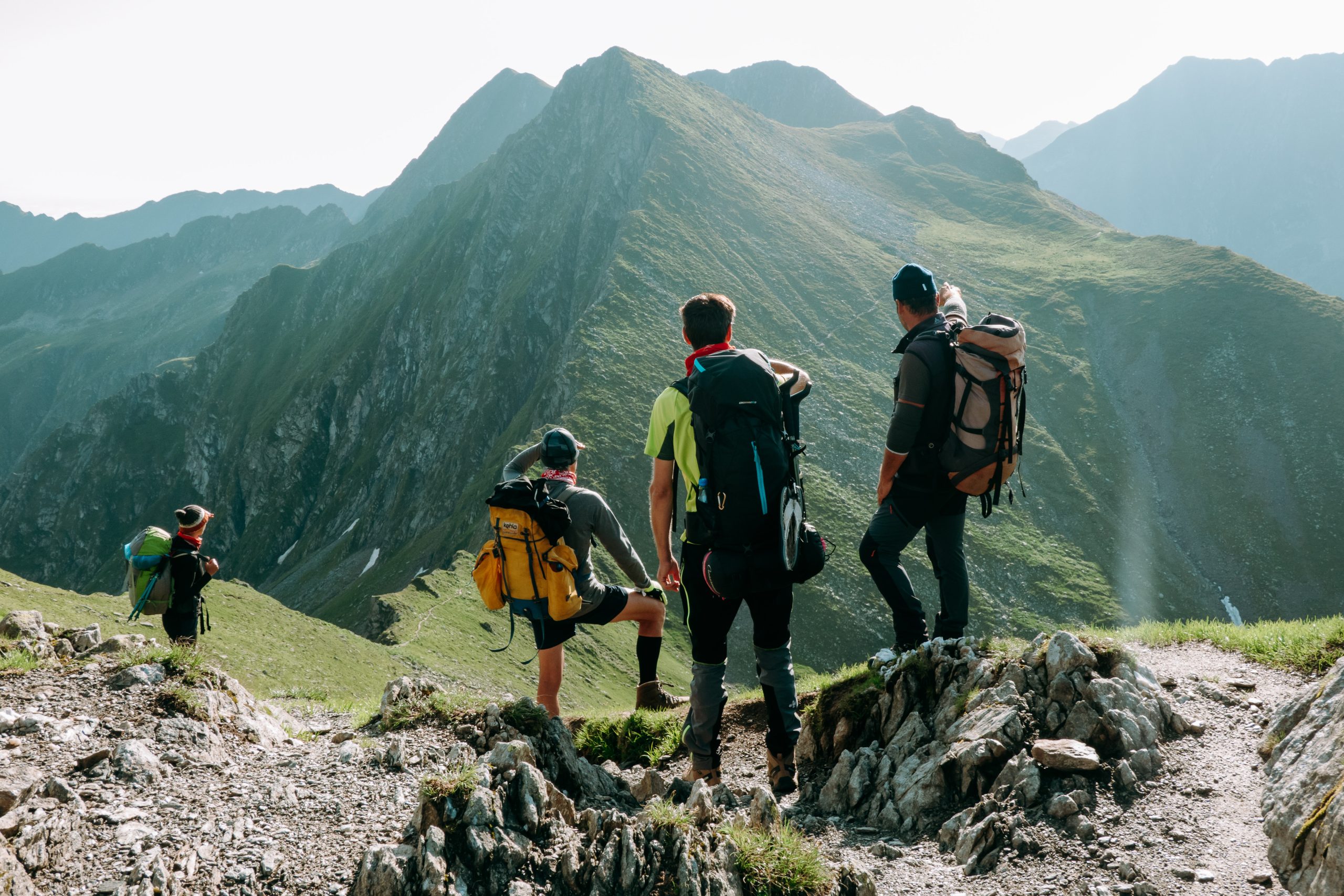
A hike in the Bâlea area, of medium difficulty, but generously repaid in the end, with a boost of endorphins.
Latitude
45.604759
Longitude
24.61788
Access the coordinates in Google Maps:
Find the location
During the summer, you can reach Bâlea Lake by taking the Transfăgărășan road and, in other times of the year, you can take the cable car, from the Bâlea Waterfall (Bâlea Cascadă) chalet, in the proximity of Bâlea waterfall.Bâlea Waterfall (Bâlea Cascadă) is accessible all year long by taking your personal car or by Bâlea Bus. The bus schedule can be found on baleabus.ro. Of course, our advice is to use the transport method having the lowest impact upon the environment, which, in this case, is the bus.
At Bâlea Waterfall (Bâlea Cascadă) you will find a map with all the information needed for the route. Follow the markings and the signage on the route and it will be very easy to find your way. Enjoy your hike!


