Description
How do I get there
Weather
Bârcaciu Chalet – Căldarea Văii Mari a Avrigului – Avrig Lake
Marking: Blue circle on a white background
Full route name: Bârcaciu Chalet - Căldarea Văii Mari a Avrigului - Avrig Lake
From Barcaciu Chalet, with fresh forces, hikers start towards Avrig Lake, going past two glacial thresholds. Avrig Lake is a glacial lake located in the valley of Avrig, under the rocky wall of Ciortea Peak, at 2470 m, part of Făgăraș Massif, and it is an ideal place of rest for those who want to reach Negoiu Peak. The upper threshold of the trail may seem difficult to cross, due to the more rugged terrain, but the route offers an impressive view of the lake, as well as on the main ridge, with the Ciortea and Scara Peaks.
Latitude
45.607572
Longitude
24.485496
Access the coordinates in Google Maps:
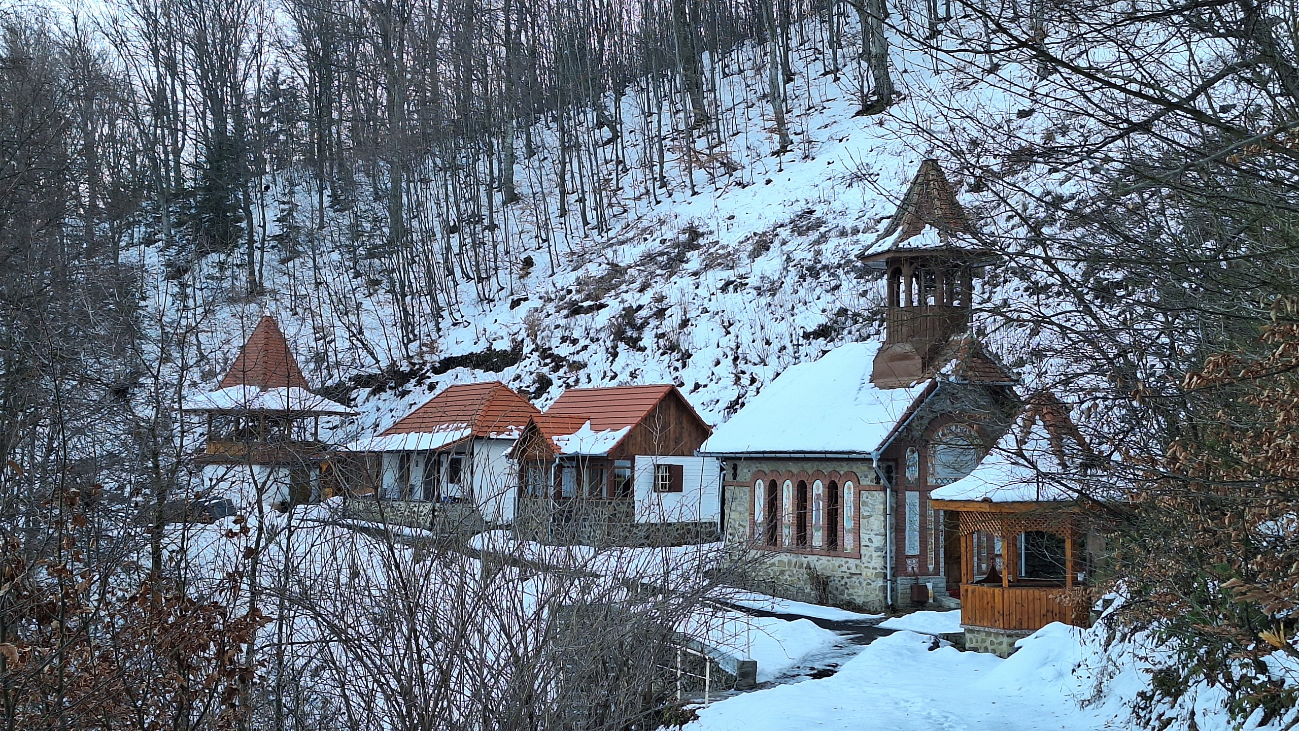
Find the locationBârcaciu Chalet, at an altitude of 1,550 m, can only be reached on foot, on a hike, following the marking and signage of the route to guide you along. Remember, if you are there, have a glass of spruce tip syrup to recharge for the road.
Enjoy your hike!


